MOUNT MERAPI
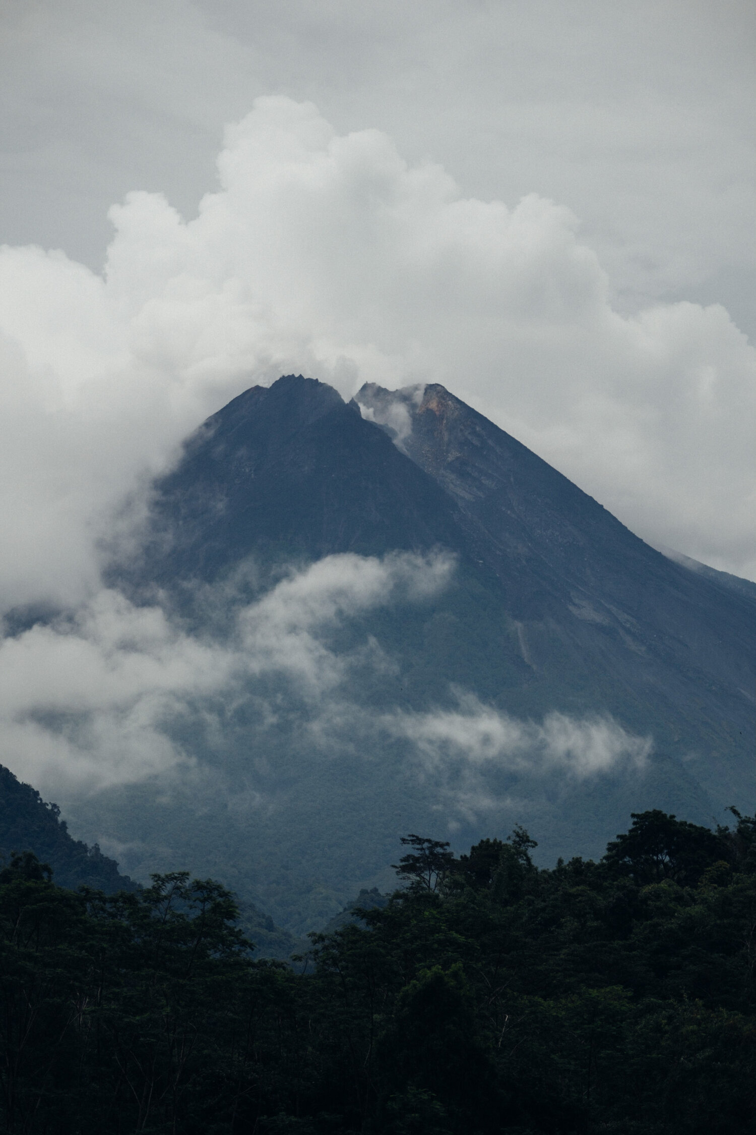
Standing at 2930 meters Merapi is 38 meters lower than the 2010 eruption, Fire Mountain is a beast that spits and roars so often that it has joined a list of only 16 volcanoes around the world declared decade volcanoes. A large permanent exclusion zone now surrounds the mountain, combining that with the thick jungle and the low cloud that often covers Merapi and it certainly lives up to its fearsome reuptation.
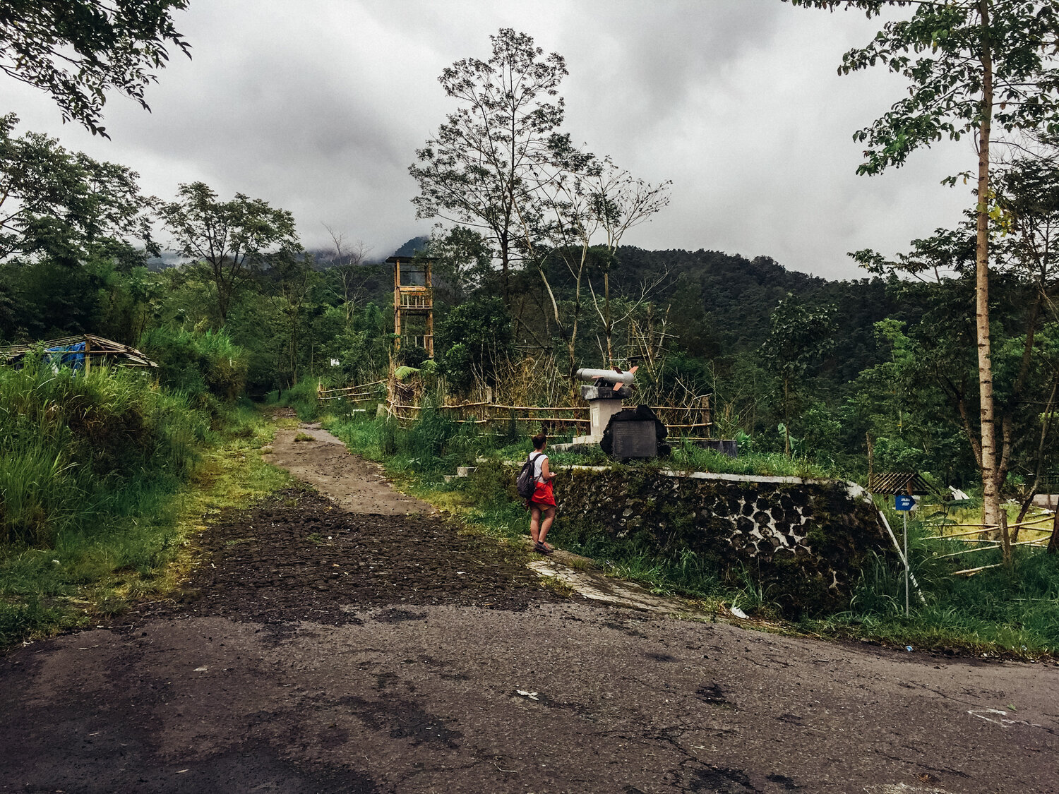
After visiting the Merapi museum and seeing the devastation that the 2010 eruption caused, we went back to our car and our guide dropped us off at the Merapi national park exclusion zone gate. Jeep tours leave from here to explore the aftermath of such a violent eruption. We carried on by foot but were warned not to go past the missile monument.
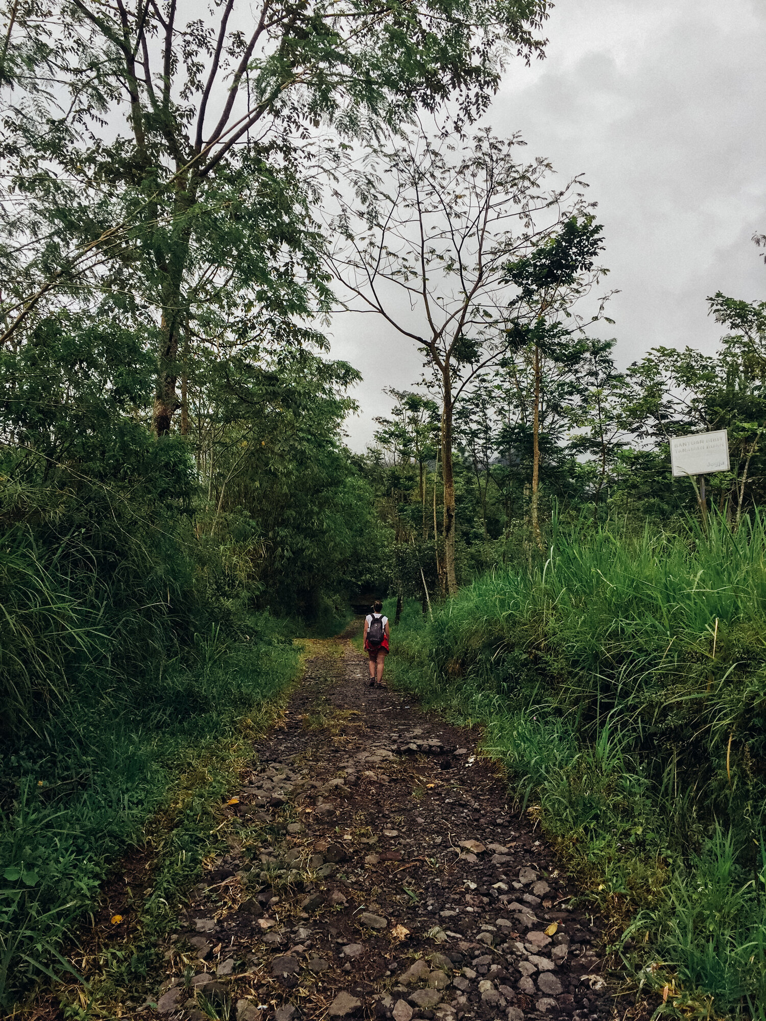
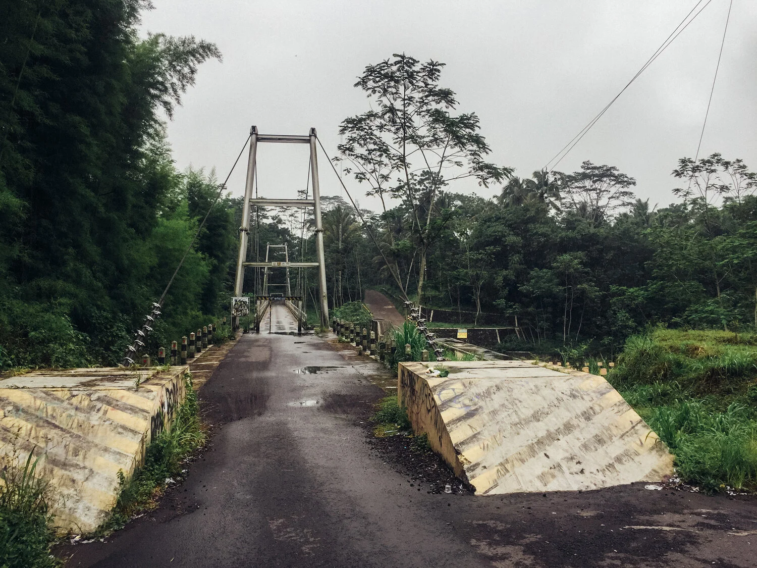
It is an eerie place, abandoned buildings, blocked off bridges and destroyed villages are all that remains. The jungle has quickly grown back to cover most things and the low cloud for a time obscured our view of the volcano only a few KM in front of us. We reached what we were told was the furthest point that it was safe to go, where the path became rubble and the warning signs were more intense. No structures of permanent dwellings are permitted in the area any more and for good cause.
As we prepared to hike back down to the perimeter gate the cloud parted for a few minutes and we saw the jagged scar faced edge of Fire Mountain, the cracks in the side of the mountain and the uneven peak showing just how explosive the 2010 eruption was.